Riparian strip
We have been struggling to make sense of planning application 18/10035/OUT, RPS’s proposal to build 55 houses on the fields between the park and Church Lane, and therefore we have not yet submitted our response. This is the problem.
All the most recent plans and drawings submitted with the application show a red site boundary and a blue boundary around what it calls the ownership area. The two areas are to be separated by a hedge, and the riparian strip of land alongside Lambrok Stream falls between the two boundaries, inside the ownership area but outside of the site boundary.
The Illustrative Masterplan, shown in the header picture, shows this area as green with bushes but the Parameters Plan, fig 1, divides it into two shades of green, calling the one nearest the development site a Public Open Space in Ownership Area and the darker green strip alongside Lambrok Stream an Ecology Corridor in Ownership Area.
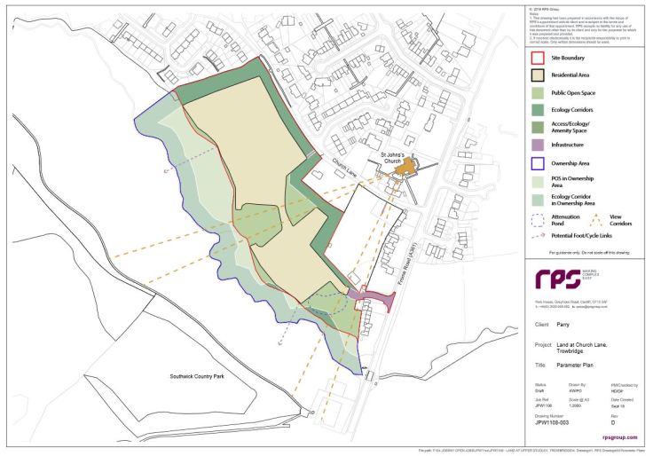
fig 1: Parameter Plan of the Land at Church Lane, Trowbridge.
Protecting the stream
In paragraph 86 of his final report to the WHSAP public hearings, Inspector Stephen Lee writes of this site: To ensure effectiveness in relation to biodiversity and drainage mitigation, the site area should be extended to the stream. This will require consequential changes to the policies map.
On page 43, the Wiltshire Housing Site Allocation Plan‘s map of site H2.4 shows that it does extend right down to the stream and in paragraph 5.50 (on the same page), it is stated that parts of the site lie within Flood Zones 2 and 3, another clear indication that the site includes the land by Lambrok Stream.
So, what is going on? Are RPS submitting a plan that includes proper and effective protection for Lambrok Stream or are they not? We thought that one of the reasons for the rejection of the November 2018 manifestation of planning application 18/10036/OUT was that it tried to solve the many problems presented by the stream by moving the site boundary up the hill beyond Flood Zones 2 and 3 and ignoring this important riparian strip of land. This was one of the issues we raised at the WHSAP public hearings in April 2019 and we have believed it to be the reason the Inspector’s report required that the site area be extended to the stream.
It is impossible to tell from planning application 18/10035/OUT who is going to be responsible for protecting Lambrok Stream: the developers, the owner/s of the field, Wiltshire Council? It should not be possible for developers on this site to absolve themselves of the responsibility for protecting the biodiversity of Lambrok Stream and the integrity of the Southwick Country Park Nature Reserve. And the stream will need protecting from the very outset; just the access roads for the trucks, diggers and earth movers, before a single brick is laid, will create enough runoff on the field’s steep slope to permanently damage the stream’s biodiversity. No amount of landscaped public open spaces will mend that.
This application falls so far short of the requirements laid out in the WHSAP policies for the site, that we are concerned that the government’s proposed changes to planning strategies in the UK are already altering how developers and local authorities are approaching rural/urban development. We feel that this application should not go any further until it is made clear, not only who will to be held responsible for protecting the biodiversity of Lambrok Stream, but exactly how they intend to do it.
The public consultation period ends on Wednesday, 7th October, so we all still have time to submit a comment to the planning department.

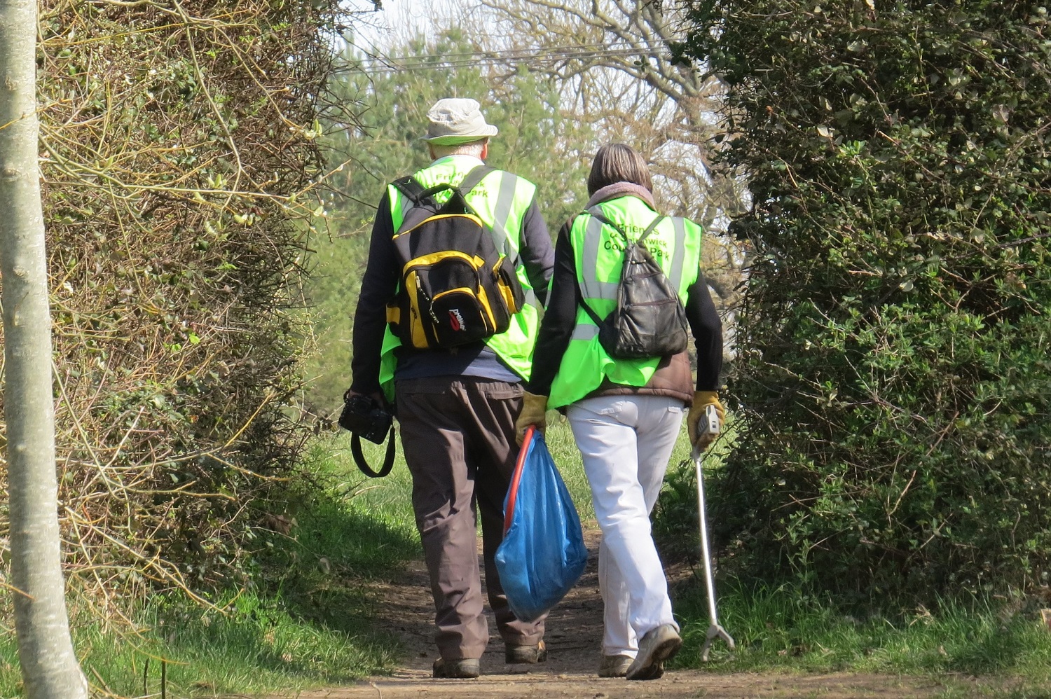
The Church Lane Site viewed from Southwick Country Park.