
The Wildlife Trusts has stepped into the controversy surrounding the government’s proposed changes to planning regulations; they have concluded that the changes will damage nature, increase air pollution and leave local people with no say on protecting urban wildlife corridors.
The Wildlife Trusts has suggested that the government should also map out a network of nature recovery areas to designate as wild belt land, not only protected from development and but actually managed for the recovery of nature. Wildlife Trusts’ chief executive Craig Bennet said: This is our only hope. We have to help nature recover rather than just talking about slowing its decline.

This wild belt land would be protected spaces, close to where people live, managed to allow nature to recover: a roadside embankment planted with wildflowers, rather than trimmed twice a month; the banks of a stream valley fenced away from livestock; a public open space of tall meadow grasses rather than smooth green lawn; an urban corner of sprawling native thicket, rather than a tidy, easily managed shrubbery.
Even if the government doesn’t adopt the Wildlife Trust’s suggestion, Wiltshire could create wild belt land alongside Lambrok Stream from it’s source in the agricultural land southwest of Southwick, right down to its confluence with the River Biss. They don’t need the government’s permission; they could just insist that the developers at the three sites allocated for development at Church Lane (H2.4), Upper Studley (H2.5) and Southwick Court (H2.6) plan together, as they are required to do by the county’s Housing Site Allocation Plan, to create and manage a green corridor along the Lambrok as wild belt land.

It would be the beginning. Next could come a management plan for the green space by Lambrok Stream at Broadmead that would prevent the spread of Himalayan balsam, encourage native riparian plants and protect the water voles we know live there and the otters’ route through to Southwick Court moat, where they hunt. The construction of a pond, for instance, would provide a breeding place for the dragonflies and damselflies that are such an important part of Lambrok Stream’s ecology.


A green corridor is not just a landscape feature: it should be protected habitat for our beleaguered wildlife, wild belt land, and we have to bring these wild places back into the urban environment if we are to help nature recover from its current frightening decline.
Another post about Wiltshire’s chance to lead the way in establishing a local Nature Recovery Network.


It would have to be more than just designation. A developer should be required to provide funds to the local wildlife trusts to maintain the Wild Belt Lands. There is still time to get a comment in on the Governments planning Legislation. If you want more information read Charmian Spickermell’s letter in the Wiltshire Times today.
It’s a very good idea. Developers already have to make contributions for various reasons connected to the site they wish to develop. For instance, in Southwick our sewers are already at capacity and in need of repair or upgrading so every developer who builds in this area pays a levy which collectively pays for upgrading areas of sewer where necessary. This was enforced after Redrow Builders wanted to Build on fields behind Blind Lane and wished to connect to the Blind Lane sewer. This could not accommodate the 100 extra homes and neither Redrow or Wessex Water were prepared to pay out thousands of pounds to lay a new enlarged sewer. Luckily this development was refused but now there is a fund to pay for work such as this in the future.
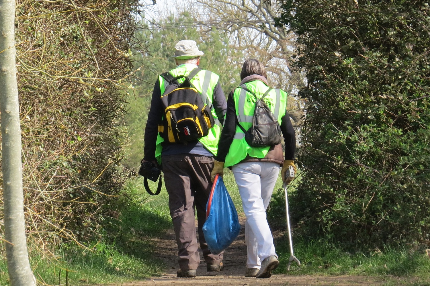
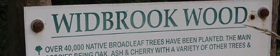
It seems such an obvious solution to such a range of problems. The Lambrok, from the Biss right up to and through Southwick, a distance of 5km, is a single ecological unit; it includes the footpath area through Broadmead, Southwick Country Park Nature Reserve, the moat at Southwick Court. It is part of the bats’ flight corridor and it is developing an outstanding assemblage of Odonata. It could be part of a Nature Recovery Network that marks the urban/rural edge of Trowbridge.