Archaeological Sites in Southwick Country Park Nature Reserve
by Barbara Johnson
When researching the history of Southwick for our Neighbourhood Plan, I contacted the Wiltshire and Swindon History Centre, where the Data Manager provided details of numerous archaeological sites throughout Southwick and also a map giving the position of each site.
Aerial photographs taken by the Royal Air Force in the 1940-50s show evidence of mediaeval (1066AD-1539AD) ridge and furrow earthworks and post mediaeval (1540AD-1900AD) water meadows in areas close to the Lambrok waterway as it flows throughout Southwick. A site close to water would have been essential for early settlements. There is evidence that from mediaeval times crops were grown in the Country Park, close to the river. These can be seen outlined in green on the map.
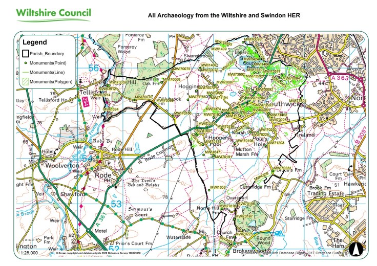
Southwick – All Archaeology Map [61791]
Other historic sites found in the Country Park include the following and I have given reference numbers so they can be found on the map. It may be easier to find the first three sites if you look for their Monument Points.
1) Mediaeval Building, Southwick Country Park – Monument No. ST85NW468 – MWI1406. Sited beyond the river floodplain. Linears, pits and stake holes were found together with 13th century pottery. The stake holes probably indicate that the site had been fenced. One of the linear features is probably a beam slot for a building.
2) An undated ditch, probably prehistoric, Country Park at Southwick – Monument No.ST85NW604–MWI1424. Sited near to the previous site, a slightly curving ditch or gully 370mm wide and 200mm deep with a moderately sloping profile onto a rounded base. It was filled with a bluish-grey silty clay with yellow mottling, a single sherd of late prehistoric pottery and a worked flint flake was also found here.
3) Romano-British Pottery, west of Firs Hill House – Monument No. ST85NW305-MWI1380. (Roman – 43AD to 409AD). Several substantial fragments of Tegula and Imbrex pottery were found in an arable field. Associated Historic Landscape – Southwick Country Park.
4) A Medieval Deer Park was documented – Monument No. ST85NW469-MWI1407. Adam de Grenville enclosed an unlicensed park here in 1246AD – evidence of fields and enclosed land – Paddocks – Park Farm.

Detail of map showing the park. The 4 sites are underlined in red.
All information courtesy of Thomas Sunley, Historic Environment Records Data Manager, Archaeology Services/Wiltshire and Swindon Historic Environment records Centre.
If you would like to learn more contact archaeology@wiltshire.gov.uk or look at the website: Historic Environment Records l Wiltshire Council. Telephone – 01249 705526.
Barbara Johnson
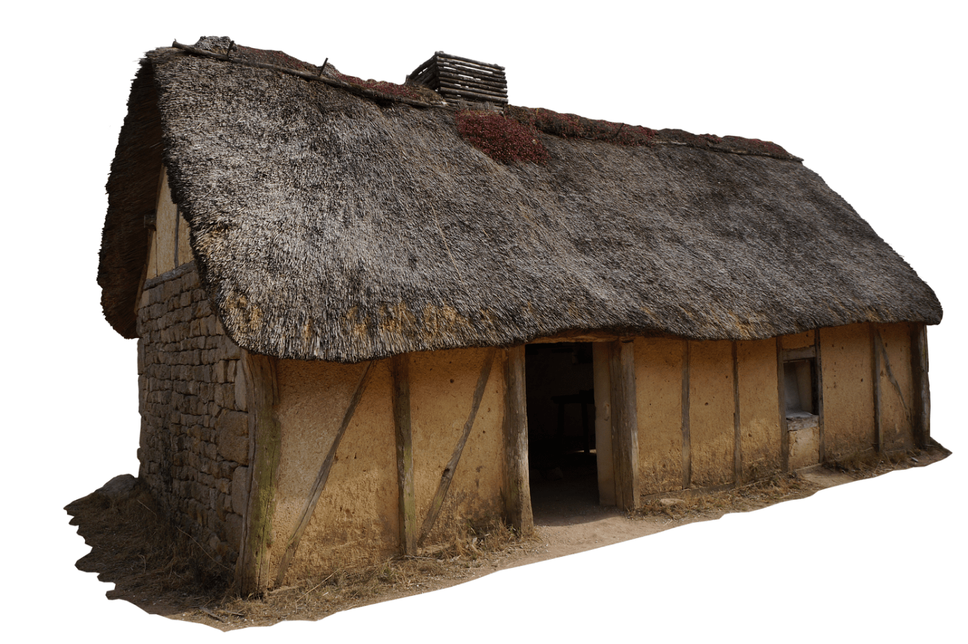
Header picture: Mediaeval house (CC0) pixabay.com


Barbara really interesting to read some of that early history for this area. Our trying to develop a boggy area in Lambrok Meadow reflects the Water Meadows of the past.